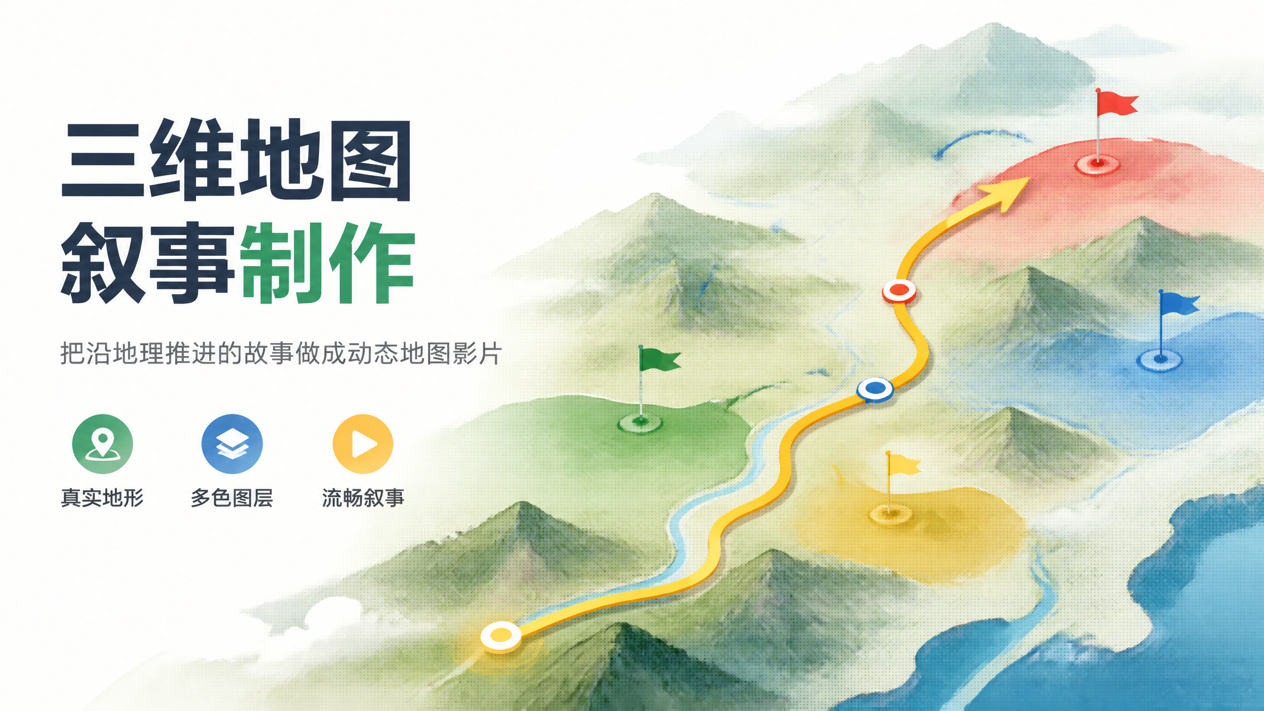
3D Map Event Generator
Satellite maps base, 8-min routes: for history, geography, and military creators.
3D Map Event Generator
Satellite maps base, 8-min routes: for history, geography, and military creators.
Showcase
Description
Turn geographically progressive events—such as military campaigns, expeditions, retreats, plague diffusion, or engineering routes—into 6-10 minute 3D satellite map narrative videos. Built on real terrain screen recordings with five-color layers (red, cyan, blue, green, yellow) representing factions and paths, featuring a single main route and smooth camera zooms instead of hard cuts. Designed for historical geography commentary, military simulations, and documentary-style popular science. Triggered when users mention "3D map", "map simulation", "campaign review", "map storytelling", or "route commentary". Not suitable for: single static terrain science graphics (use 3D terrain science), ancient-style maps (use historical maps), fictional dramas requiring character dialogue and acting (use film storyboards), or pure data charts.
Best for
Ideal for creators of historical geography, military science popularization, and documentary-style map commentary planning event simulation videos.
How to use this Skill
Provide your input
Provide a geographically progressive historical event, migration, diffusion, or engineering route, along with verifiable dates, locations, figures, and historical sources.
Run the Skill
Plans the map narrative structure, camera pacing, route and layer representation based on the information, and organizes prompts for required b-roll and visual materials.
Review your result
Receive a narration script, storyboards, map recording and overlay planning, along with prompts suitable for b-roll, summary cards, and ending materials.
Related Skills
View all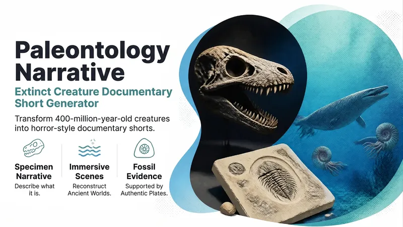
Paleo-Horror Short Generator
Write a 6-8 minute horror-documentary short about an extinct creature: black-background specimen shots to explain 'what it is,' blue-green underwater shots to explore 'what happened back then,' and real fossil plates as evidence. The script opens with lines like 'You think A is scary? Its ancestors would just pray it wasn't hungry,' bringing deep time home to the audience every 90 seconds. Ideal for science short films on paleontology, evolutionary history, and extinction events. Triggers when users mention 'paleontology,' 'extinct animals,' 'prehistoric beasts,' 'evolutionary history science,' or 'fossils.' Not suitable for: live macro insect footage (use macro insect life), 3D cartoon or claymation styles (use stop-motion/3D shorts), pure academic restoration illustrations, or paleogeographic campaign simulations requiring precise maps (use topographic narrative).
 Video
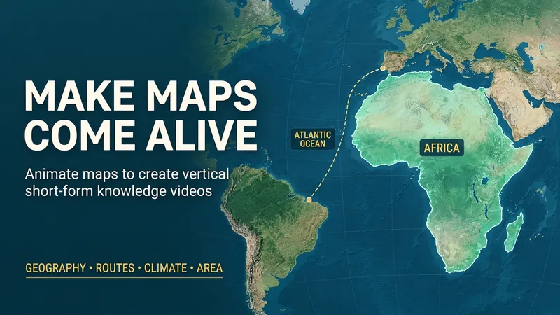
Bring Maps to Life
Want to make geography science short videos, but struggling to make maps engaging? From "Is Greenland really that big?" to "Why a single mountain changes rainfall on both sides," focus on counter-intuitive, suspenseful viral topics. Use real maps, dynamic routes, camera pans and zooms, and intuitive comparisons to turn knowledge into a vivid story. Designed for vertical short video creation and knowledge account growth, it supports topic planning, fact-checking, script-storyboarding, Chinese subtitles, and user self-voiceover. It defaults to producing 9:16 map animations and exports MP4 in supported browsers, making it great for geography science, trivia, and map commentary content. Examples on this page were generated by GPT-6 Astra using this Skill. You can also try other models; actual results depend on preview and export outputs. Try entering: "Help me create a 60-second vertical video for a geography knowledge account. The theme is 'Are maps lying to us?' Start with a counter-intuitive question, use dynamic maps in the middle, and end with viewers clearly seeing that Africa is about 14 times the size of Greenland."
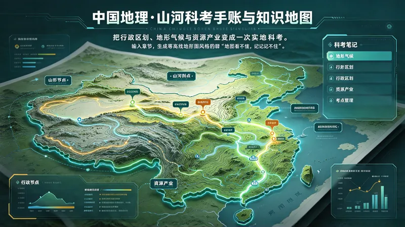
China Geography Knowledge Map
SKILL Features Terrain profiling: Turn the three-step topographic ladder into a “mountain-climbing profile” so elevation changes are immediately clear. Dynamic monsoons and river systems: Turn the advance and retreat of the summer monsoon, the movement of rain belts, and river flood seasons into a “weather itinerary.” Administrative division memory aids: Output provincial-level region outlines, abbreviations, and administrative centers in matching pairs, with homophone or association-based memory anchors. Human–land relationships: Connect natural features to agriculture, industry, transportation, and cities through an unbroken chain of cause and effect. Regional comparison tables: Compare southern and northern China, as well as the Northwest and Qinghai–Tibet regions, item by item, including climate, terrain, crops, and housing. Data verification: Mark the source of figures such as area, length, population, and output, or label them “To be verified.” Never fabricate numbers for the user. Chart interpretation: List the steps for reading isotherm maps, isohyet maps, and population density maps separately. Local geography interface: Specify a province to generate a dedicated one-page field study sheet connected to exams and everyday life. Recommended prompts Turn “China’s Terrain and Topography” into a mountain-climbing field study-style contour map Help me create a river-drifting field notebook for “Comprehensive Development of the Yangtze River Basin,” including a human–land relationship chain 整理 “The Geographical Significance of the Qinling–Huaihe Line” with a regional comparison table Generate a local geography field study sheet for Guangdong Province, with a map styled as a railway mainline journey
Information
- Version
- v3
- Last updated
- Runtime credits
- Usage-based
- Models
- Auto
- Use cases
- Writing & contentImages & designLearning & education
- What you get
- ScriptPromptPlan