Viral Food Map Maker
Verify dishes, then build a travel food map
Viral Food Map Maker
Verify dishes, then build a travel food map
Showcase
Description
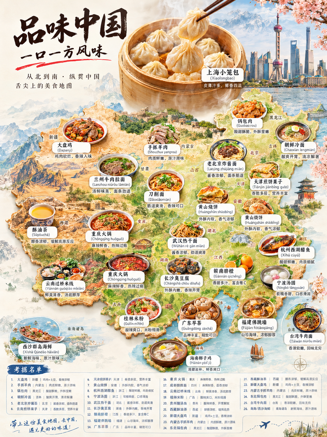
Enter a place name and get a "local food map poster" that looks like an official tourism board promotional graphic. ✅ Research-backed: Searches online first and cross-checks local specialties that truly exist in the area—no made-up dishes or misattributions. You also get a selected food list first. ✅ Map-based design: Uses the location's real geographic outline as the canvas, placing each dish as a small bowl or plate in its approximate direction so you can see "where to eat what" at a glance. ✅ Signature hero visual: Automatically selects the most representative signature dish for a large close-up, paired with local landmark elements for a strong poster look. ✅ Visual and informative: Each dish includes a name label and a one-sentence description, with clear, legible text. ✅ Any location size: Works for countries, provinces, cities, counties, and towns, with the number of dishes adjusted automatically. ✅ Flexible customization: Defaults to Chinese and a 3:4 portrait layout. You can customize the language, aspect ratio, number of dishes, and brand credit. Use it for travel inspiration, tourism promotion, food creator topics, Xiaohongshu/Douyin/WeChat Official Account covers, hometown promotion, and travel guide visuals.
Best for
Ideal for travel creators, tourism promotion teams, and anyone needing visual content about regional food.
How to use this Skill
Provide your input
Enter a country, province, city, or other place name. You can also specify the language, aspect ratio, number of dishes, credit line, and other requirements.
Run the Skill
The system verifies local specialties and their geographic origins, organizes a confirmed food list, and uses it to create a realistic photo-collage regional food map poster.
Review your result
Get a research-backed list with dish names, regions, and brief descriptions, plus a travel poster showing geographic distribution, local scenery, and signature foods.
Related Skills
View all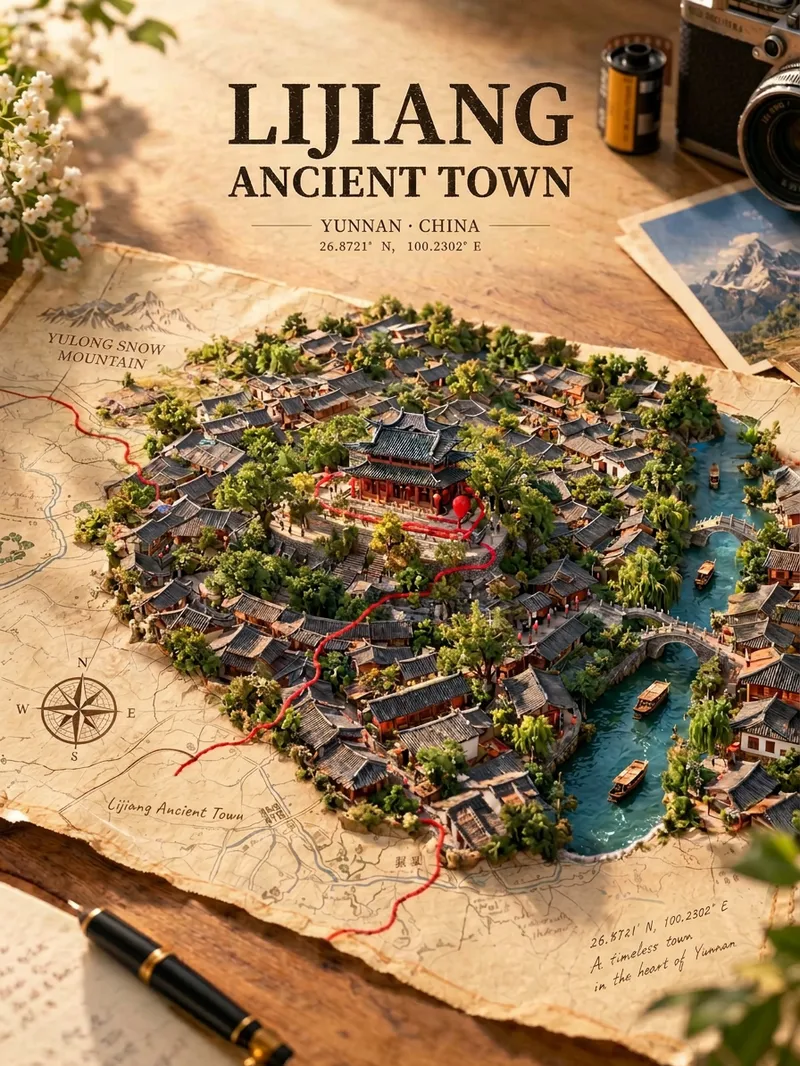 Image
Map Treasure Poster
For travel, geography, history, and urban culture creators; creators making carousel graphics and short-video covers; and account operators who want to produce images in batches at low cost. Enter any place in the world—from a country or city to a town or village—and generate a creative poster showing the city breaking through paper. Real streets, rivers, and iconic buildings slowly rise from a yellowed vintage map, while a red line winds along actual streets before wrapping around the landmark. Landmarks, architectural styles, terrain, waterways, and coordinates are all recreated according to the real location, with no random drawing or mix-ups. The default format is a 3:4 portrait layout, with bilingual Chinese-English poster text. The aspect ratio and language can be customized.
 Image
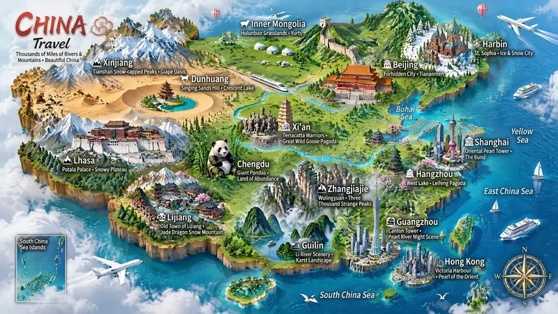
Miniature Maps for Any Place
Best for: travel bloggers, tourism promotion, geography and culture education, hometown promotion, travel guide covers, and social media series. Turn any place into a miniature diorama you can hold in your hands. Just enter a place name. The Skill first identifies whether it is a country, province, city, or town, then researches the area's most representative real landmarks, cultural symbols, and local specialties. Finally, it generates a bright, finely detailed 3D isometric miniature travel map poster. ✅ Landmark research: verify first, then illustrate—no invented buildings, attractions, or place names ✅ All location levels: country / province / city / district or county / town / scenic area ✅ Clear information: place name + icons + keyword labels make each area's character easy to understand at a glance ✅ Default 3:4 portrait format, suitable for Xiaohongshu, Douyin covers, and Pinterest ✅ Flexible styles: 3D miniature, clay, pixel art, watercolor, paper cut, or low-poly ✅ Series-ready: maintain a consistent style for batches such as "All Provinces of China," "Northeast China’s Three Provinces," or "Cities Across China" ✅ Supports Chinese, English, and bilingual Chinese-English labels
 Image
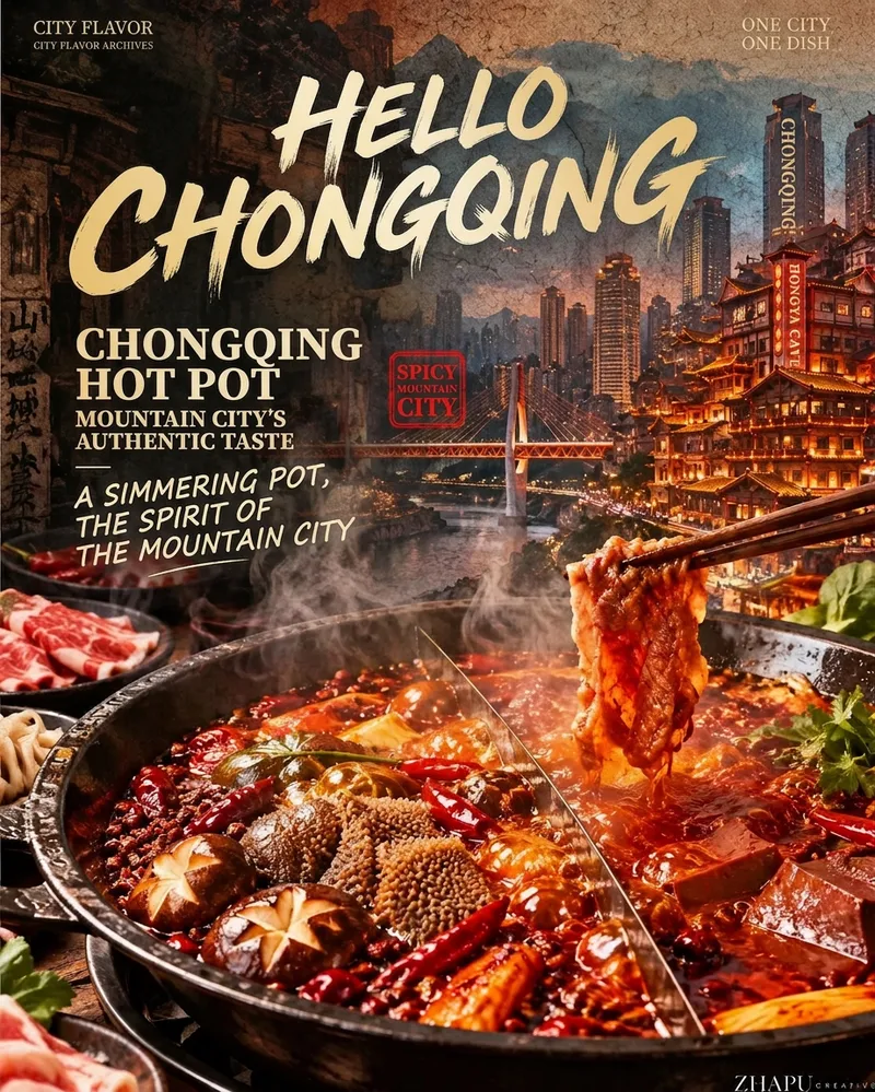
City Flavor Poster
When a user enters a city or province, first search the web for local landmarks, daytime and nighttime views, tourist attractions, and representative foods. For each category, let the user select the single most recognizable option. Then recommend and confirm related poetic lines and footer credit text. Finally, combine the city landmark, local cuisine, and vintage layout to create a 9:16 portrait city flavor poster. The visual system keeps the series consistent across cities: the food takes up the largest visual area and remains vivid, glossy, and appetizing; city landmarks are layered semi-transparently into the background to tell a story; an oversized calligraphic “Hello, [City Name]” title, dish name, small English text, and red seal create recognizable visual markers. The background uses aged paper, halftone dots, and grain, while the food in the foreground stays clear and bright. You can add your name as the signature.
Information
- Version
- v5
- Last updated
- Runtime credits
- Usage-based
- Models
- Auto
- Use cases
- Images & designResearch & analysisMarketing & growth
- What you get
- ReportImage
- Visual styles
- CollagePhotorealisticPaper art