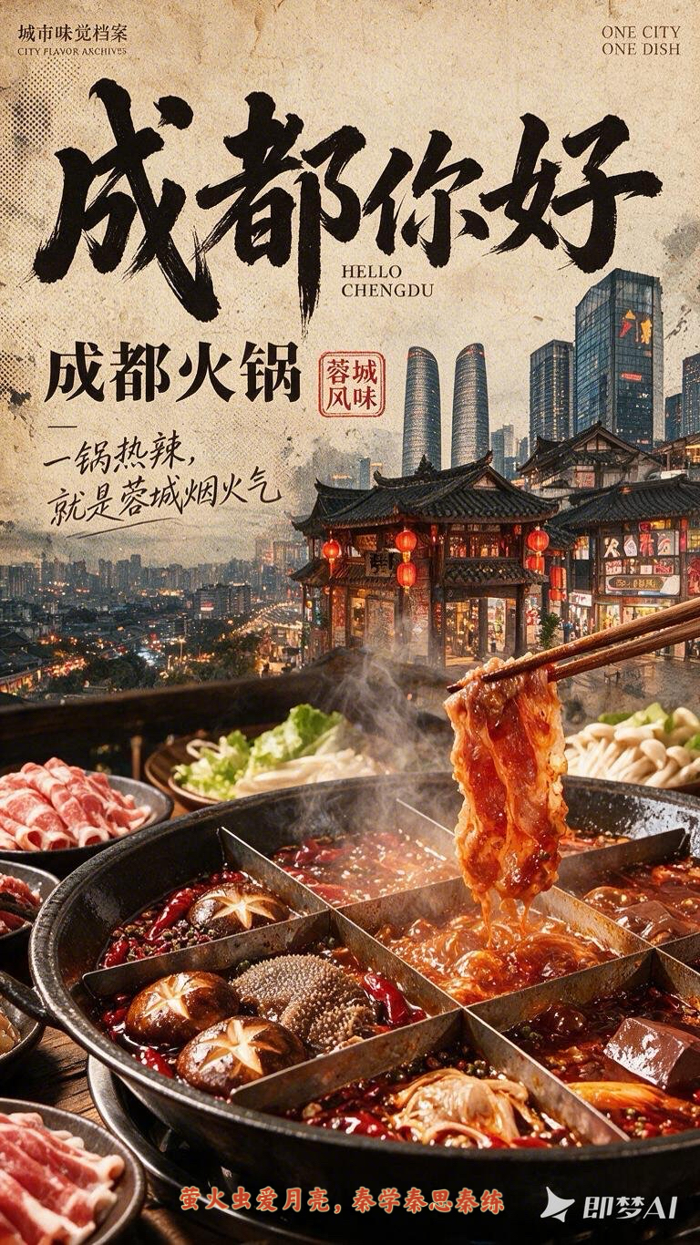
City Flavor Poster
Create a vintage city food poster
City Flavor Poster
Create a vintage city food poster
Showcase
Description
When a user enters a city or province, first search the web for local landmarks, daytime and nighttime views, tourist attractions, and representative foods. For each category, let the user select the single most recognizable option. Then recommend and confirm related poetic lines and footer credit text. Finally, combine the city landmark, local cuisine, and vintage layout to create a 9:16 portrait city flavor poster. The visual system keeps the series consistent across cities: the food takes up the largest visual area and remains vivid, glossy, and appetizing; city landmarks are layered semi-transparently into the background to tell a story; an oversized calligraphic “Hello, [City Name]” title, dish name, small English text, and red seal create recognizable visual markers. The background uses aged paper, halftone dots, and grain, while the food in the foreground stays clear and bright. You can add your name as the signature.
Recommended by
淡苍
Why we love this skill
Unifies landmarks, local food, and vintage layout into an expandable visual series. It verifies real regional elements, confirms each choice, and makes the signature dish the clear star while preserving identity and appetite appeal.
Related Skills
View all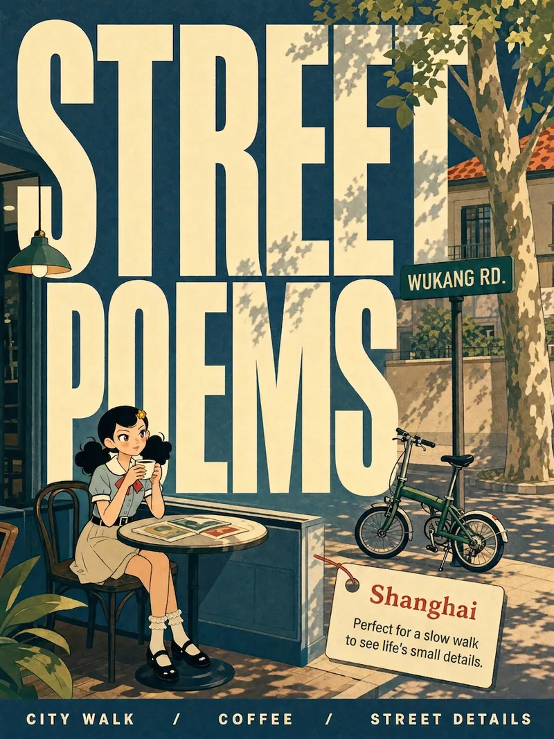 Image
ImageCity Observer Poster
Upload any character image and name a city to create a collectible City Observer poster. This is not a tourism promo—it’s a visual note on the city’s mood. The Skill preserves the character’s recognizable features, translates them into a unified flat illustration style, and places them in everyday city scenes. The three-step process (character analysis → city concept card → image generation) lets you confirm each step. A consistent visual system: vertical 3:4 format, oversized English title, blue-cyan line art, risograph print texture, and limited-color editorial layout. Create 10 cities and you’ll have a cohesive 10-poster city atlas. Minimum input: one image + a city name.
 Image
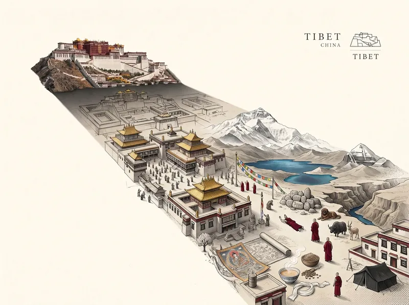
ImageViral City Shadow Worlds
Great for building an audience. Enter a city name, and it will automatically match the city’s most recognizable landmark and cultural color palette to create a vertical surreal editorial illustration poster themed “THE WORLD INSIDE A SHADOW.” The image features a realistic landmark casting an unusually long shadow. Hidden inside the shadow is a miniature parallel world made up of the city’s landmarks, streetscapes, culture, and everyday details, transitioning seamlessly between realistic textures, ink lines, paper-cut relief, and engraving-like finishes. The city and country names appear in English in a small serif font in the upper-right corner. Ideal for city-themed art posters, cultural promotion, and creative visuals.
City Landmark Diorama
Turn a city’s representative landmarks into a miniature map illustration that combines geographic grounding with visual appeal. Simply provide the city name along with any preferences for coverage, language, scale, or style. The Skill will organize the relative positions of around 5–8 key landmarks, riverbank relationships, roads, bridges, and distances between landmarks, while shaping the scene around local architectural character. The final result is a complete, ready-to-view city landmark diorama—not just a prompt or composition plan. The scene uses a full-frame warm-toned map surface, refined, colorful 3D diorama models, a small and varied selection of background buildings, and clear Chinese labels to emphasize the visual hierarchy of “large landmarks, small buildings.” It also retains a city title plaque in the upper left, a north arrow in the upper right, and necessary artistic annotations. This makes it suitable for city introductions, travel and cultural content, regional overviews, and visual presentations. After generation, it also checks landmark recognizability, relative positions, river and road relationships, label text, and compositional consistency, making corrections when needed. This is an artistic illustration of city locations and does not replace navigation, surveying, or a map with a precise scale. When web research and image-generation capabilities are available, it can include brief sources, the research date, and reusable prompts. If image generation is not currently available, it provides a complete image-generation prompt and a location list.
Information
- Version
- v4
- Last updated
- Runtime credits
- Usage-based
- Models
- Auto