
Dialect Map
See where a dialect word is used
Dialect Map
See where a dialect word is used
Showcase
Description
“What do you call this where you’re from?” is one of the easiest questions to argue over—and one of the easiest ways to start a conversation. 【Dialect Map】takes a dialect word or local phrase and creates a finished dialect map graphic: where the word is generally used, which dialect region it belongs to, how to pronounce it (with approximate Pinyin pronunciation), what it means, how to use it in a sentence, and what other names it has in other places. Great for regional content, comment-section interaction, and hometown connections. Hard rules: show only broad dialect regions, not village-level detail; use approximate Pinyin pronunciation and note “not the International Phonetic Alphabet”; mark uncertain claims as “This usage is unverified.”
Recommended by
Dancang
Why we love this skill
Turns a dialect word into a collectible, shareable entry graphic with pronunciation, nuance, examples, regional names, and carefully bounded distribution details.
Related Skills
View all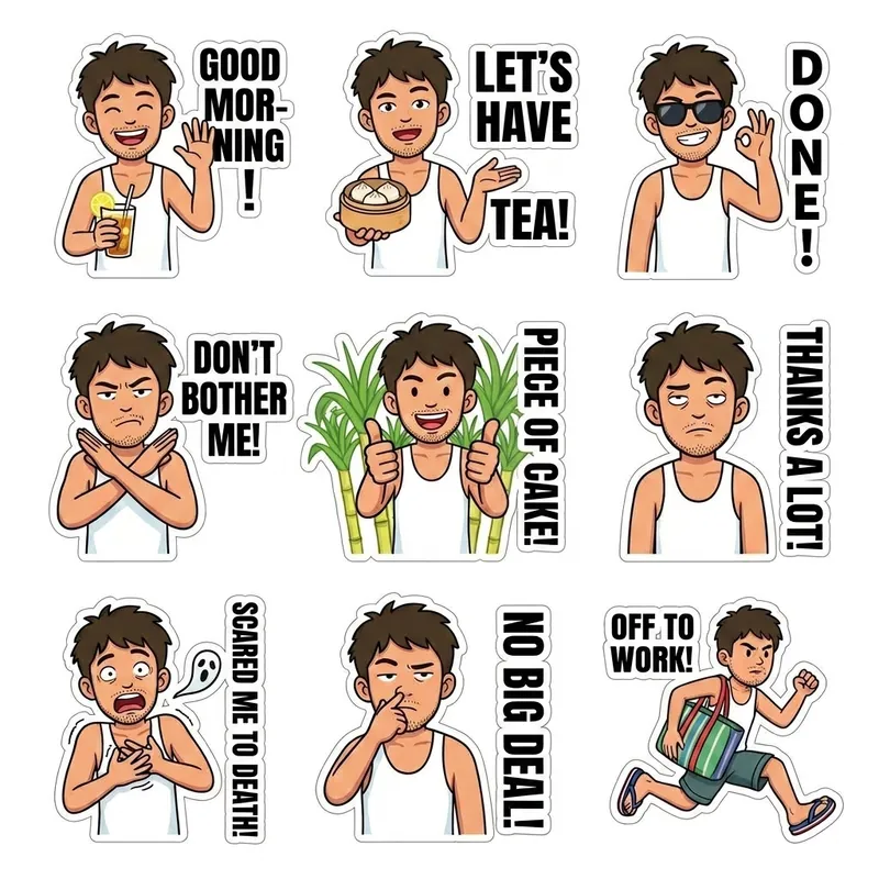 Image
ImageCity Dialect Sticker Skill
Users input a city name and character, and the skill automatically generates authentic local dialect expression stickers for that city.
 Image
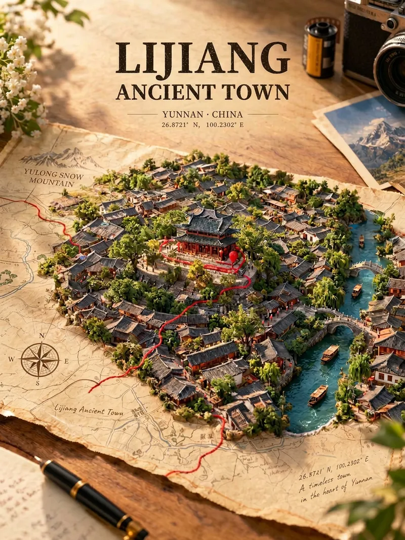
ImageMap Treasure Poster
For travel, geography, history, and urban culture creators; creators making carousel graphics and short-video covers; and account operators who want to produce images in batches at low cost. Enter any place in the world—from a country or city to a town or village—and generate a creative poster showing the city breaking through paper. Real streets, rivers, and iconic buildings slowly rise from a yellowed vintage map, while a red line winds along actual streets before wrapping around the landmark. Landmarks, architectural styles, terrain, waterways, and coordinates are all recreated according to the real location, with no random drawing or mix-ups. The default format is a 3:4 portrait layout, with bilingual Chinese-English poster text. The aspect ratio and language can be customized.
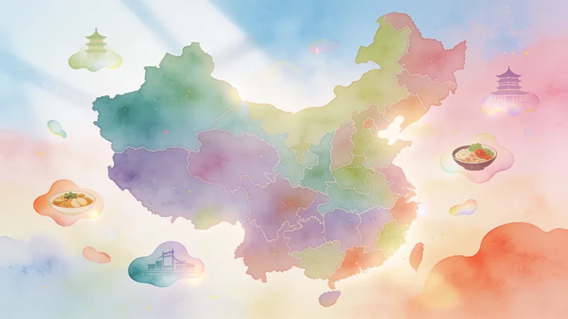
Free Meal Map-Warm Watercolor
Reads member destinations from a table or text and generates a 16:9 hand-painted watercolor free-meal map of China in warm beige. By default, it uses no lines, labels cities directly on the main map, and organizes names by geographic region. Provinces with visiting members are colored, while others are grayed out. It also ensures nearby city attractions or classic local foods are accurately matched with neighboring city lists.
Information
- Version
- v2
- Last updated
- Runtime credits
- Usage-based
- Models
- Auto