Viral 3D Terrain Map Maker
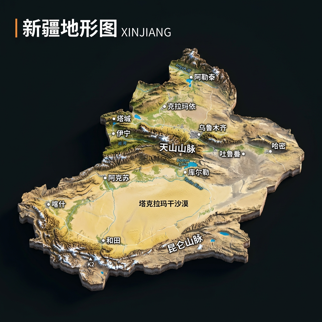
Create 3D terrain maps from real geography
Viral 3D Terrain Map Maker
Create 3D terrain maps from real geography
Showcase
浙江省3D地形图生成
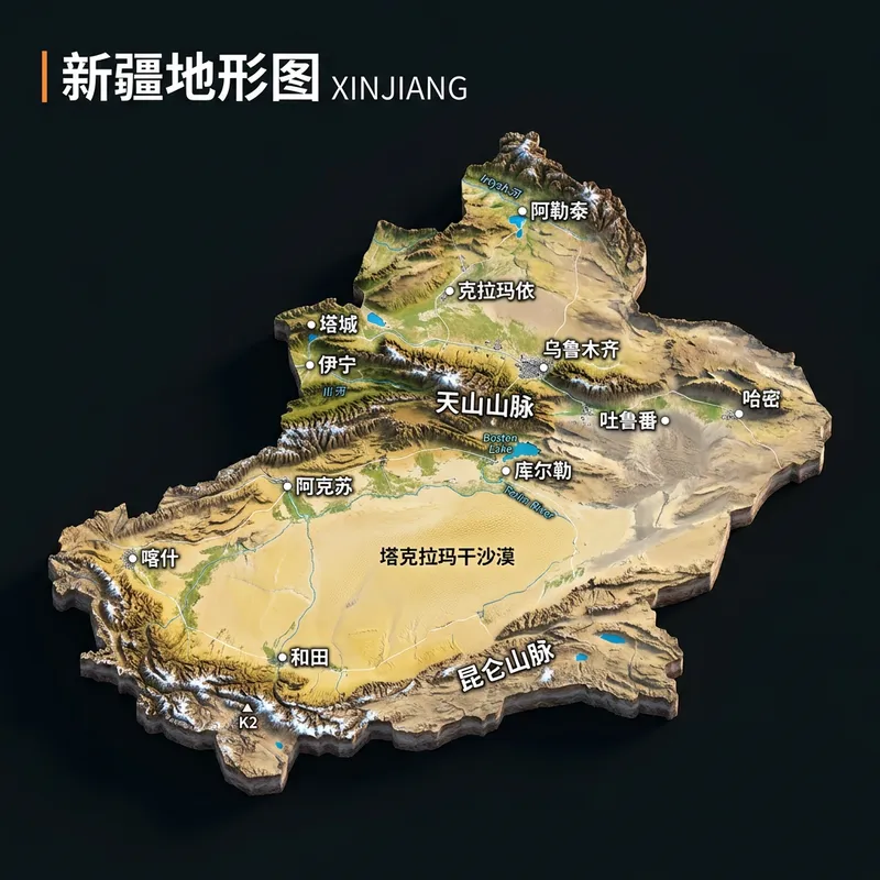
新疆3D立体地形沙盘图
浙江省3D地形图生成
新疆3D立体地形沙盘图
Description
Real Terrain Map Generator. Ideal for growing a new account, with high engagement. Enter any place name to instantly generate a realistic 3D terrain diorama. Provinces, cities, counties, townships, and villages are all supported, as long as they can be found on a map. The map is cropped to actual administrative boundaries, with mountains, plains, rivers, and coastlines based strictly on real geography. Real place names are labeled, with no made-up details.
Recommended by
淡苍
Why we love this skill
Turns any place name into a photorealistic 3D terrain diorama with verified administrative outlines, mountain and river routes, and place labels. Ideal for regional visuals with both visual impact and informational value.
Related Skills
View all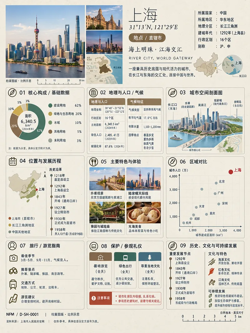 Image
Image(Trending) Anything as an Infographic
A trending infographic generator. Enter the name of any subject, and it automatically identifies the type—such as a living thing, mineral or material, man-made object, place or building, cultural concept, or historical figure—then creates a dense 3:4 portrait infographic poster using a fixed “natural specimen archive × modern museum guide plaque” layout system. It includes a header identification area, specimen-style image area, a central 3×3 grid with a core data radial chart, detailed key metrics, structural cross-section, spatial and temporal distribution, applications and user experience, side-by-side comparison, identification guide, preservation and maintenance, and historical lineage, plus a collection number and reference information area at the bottom. The layout, grid, typography, and color systems are consistent, making the posters easy to collect as a series. GPT Image 2 is used by default as the best-fit image generation model. Best for: building an account from scratch and taking commissioned work.
City Landmark Diorama
Turn a city’s representative landmarks into a miniature map illustration that combines geographic grounding with visual appeal. Simply provide the city name along with any preferences for coverage, language, scale, or style. The Skill will organize the relative positions of around 5–8 key landmarks, riverbank relationships, roads, bridges, and distances between landmarks, while shaping the scene around local architectural character. The final result is a complete, ready-to-view city landmark diorama—not just a prompt or composition plan. The scene uses a full-frame warm-toned map surface, refined, colorful 3D diorama models, a small and varied selection of background buildings, and clear Chinese labels to emphasize the visual hierarchy of “large landmarks, small buildings.” It also retains a city title plaque in the upper left, a north arrow in the upper right, and necessary artistic annotations. This makes it suitable for city introductions, travel and cultural content, regional overviews, and visual presentations. After generation, it also checks landmark recognizability, relative positions, river and road relationships, label text, and compositional consistency, making corrections when needed. This is an artistic illustration of city locations and does not replace navigation, surveying, or a map with a precise scale. When web research and image-generation capabilities are available, it can include brief sources, the research date, and reusable prompts. If image generation is not currently available, it provides a complete image-generation prompt and a location list.
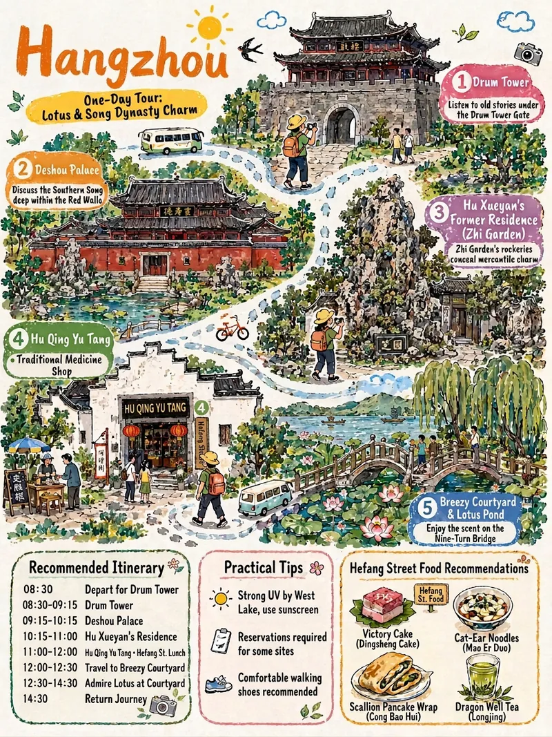
China Travel Itinerary Sketch
Given a destination, it automates the full workflow: verifying opening hours, transportation, and real landmark details; planning a day-by-day itinerary; and then generating hand-drawn cultural travel illustrations in a consistent style. It ensures landmarks are not fabricated, Chinese text is proofread character by character, time information is independently presented, and the art style remains consistent across days.
Information
- Version
- v4
- Last updated
- Runtime credits
- Usage-based
- Models
- Auto