One-Click Parking & Fun Map
Plan parking, fun spots, and routes
One-Click Parking & Fun Map
Plan parking, fun spots, and routes
Showcase
Description
Enter any city and travel date or holiday. It searches online for real parking locations and fun spots, then generates an interactive city sandbox map showing where to park, where to go afterward, recommended connections, and itinerary suggestions.
Recommended by
Shuting@YouMind
Why we love this skill
Combines real search, parking, activities, routes, and holiday timing in an interactive mobile city sandbox with reliable map fallback and coordinate switching for use in China.
Related Skills
View all
Weekend Family Outing Planner
Not sure where to take the kids this weekend? Get one clear recommendation. It remembers your family’s details: your city, each child’s age, budget range, whether you drive or take public transit, places you want to avoid, and even which parking lots not to enter. After asking once, it won’t ask again—you can simply say, “Where should we go this week?” It doesn’t guess the weather. Each time, it checks the actual forecast for your target date online. It won’t schedule outdoor activities for a 33°C afternoon, prioritizes indoor options on rainy days with a backup plan, and even factors sunset time into scenic outings. It only recommends places that are genuinely open and available: primarily using Xiaohongshu and Douyin content from the past 1–3 months, covering your local area and destinations within a 2-hour drive. Posts older than 3 months are not used as evidence that a place is currently visitable. Events are verified to still be running this week, and venues are verified to still be open. Every plan includes the link to the actual post found during research—URLs are never made up. It counts adults as one person and evaluates each option across six dimensions: budget, weather, transportation, age suitability, educational and physical activity value, and whether both adults and children can enjoy it. You’ll get 1 top recommendation plus 1–2 alternatives with meaningful differences. “Adults should have something fun to do too—not just supervise playtime” is a required scoring criterion. Once you choose a plan, it will ask whether you’d like an itinerary card: an HTML webpage that works on your phone, supports check-off tracking, and offers one-tap navigation. Or, it can generate a vertical image card from the webpage card so you can save it to your photo library with a long press and share it directly in your family group chat—even without a signal. The time, location, and price on the image card are copied from the webpage card line by line, without adding a single word. The more you use it, the easier it gets—preferences confirmed in each round are saved to your family profile.
 Image
ImageCity Observer Poster
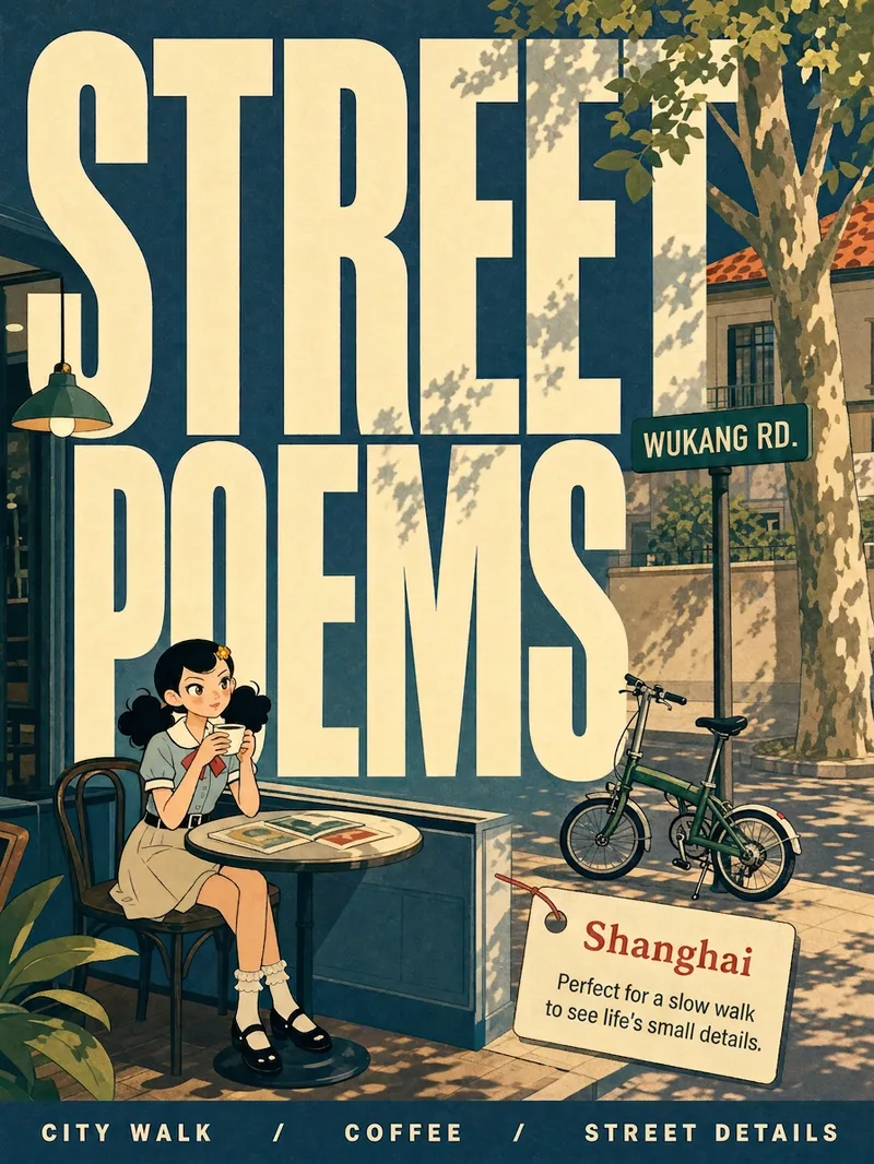
Upload any character image and name a city to create a collectible City Observer poster. This is not a tourism promo—it’s a visual note on the city’s mood. The Skill preserves the character’s recognizable features, translates them into a unified flat illustration style, and places them in everyday city scenes. The three-step process (character analysis → city concept card → image generation) lets you confirm each step. A consistent visual system: vertical 3:4 format, oversized English title, blue-cyan line art, risograph print texture, and limited-color editorial layout. Create 10 cities and you’ll have a cohesive 10-poster city atlas. Minimum input: one image + a city name.
City Landmark Diorama
Turn a city’s representative landmarks into a miniature map illustration that combines geographic grounding with visual appeal. Simply provide the city name along with any preferences for coverage, language, scale, or style. The Skill will organize the relative positions of around 5–8 key landmarks, riverbank relationships, roads, bridges, and distances between landmarks, while shaping the scene around local architectural character. The final result is a complete, ready-to-view city landmark diorama—not just a prompt or composition plan. The scene uses a full-frame warm-toned map surface, refined, colorful 3D diorama models, a small and varied selection of background buildings, and clear Chinese labels to emphasize the visual hierarchy of “large landmarks, small buildings.” It also retains a city title plaque in the upper left, a north arrow in the upper right, and necessary artistic annotations. This makes it suitable for city introductions, travel and cultural content, regional overviews, and visual presentations. After generation, it also checks landmark recognizability, relative positions, river and road relationships, label text, and compositional consistency, making corrections when needed. This is an artistic illustration of city locations and does not replace navigation, surveying, or a map with a precise scale. When web research and image-generation capabilities are available, it can include brief sources, the research date, and reusable prompts. If image generation is not currently available, it provides a complete image-generation prompt and a location list.
Information
- Version
- v4
- Last updated
- Runtime credits
- Usage-based
- Models
- Auto